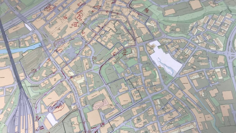
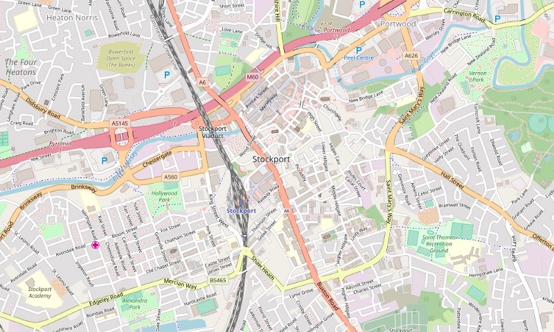
In Part 1, we looked at the Mapping Mobility Stockport project, which aimed to map the routes and strategies used by people with mobility impairments when travelling around Stockport town
The municipal environment often includes barriers that exclude people with restricted mobility. These barriers may be the result of natural topography, historic planning, deterioration of the urban environment or planned
We’re happy to announce that we’ve partnered with Stockport Council on a project called ‘Mapping Mobility Stockport’, funded through the ODI Geospatial Fund. Working with Age UK and Disability Stockport,


