This four-part blog series explores Open Data Manchester’s approach to community-led data collection, showcasing our methodology and impact across various projects. Part 3: Participatory Mapping – From Joy Diversion to
31
Aug
Aug
Come to Stretford Public Hall to find out more about and celebrate the experiences of women and girls living in Trafford today.

31
Aug
Aug
Watch a play written and performed by the people of Trafford, then help shape proposals to change the lives of those involved.
21
Aug
Aug
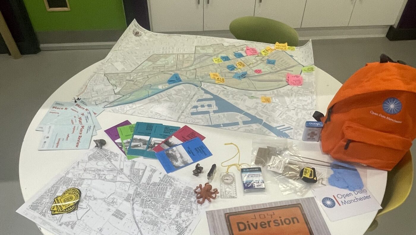
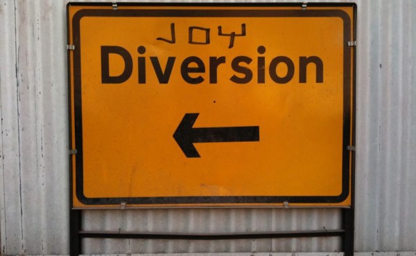
Joy Diversion is family-friendly day of exploring, mapping and meandering being run by ODM as part of Right to the Streets.
21
Aug
Aug
Joy Diversion is family-friendly day of exploring, mapping and meandering being run by ODM as part of Right to the Streets.

17
Aug
Aug
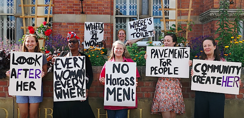
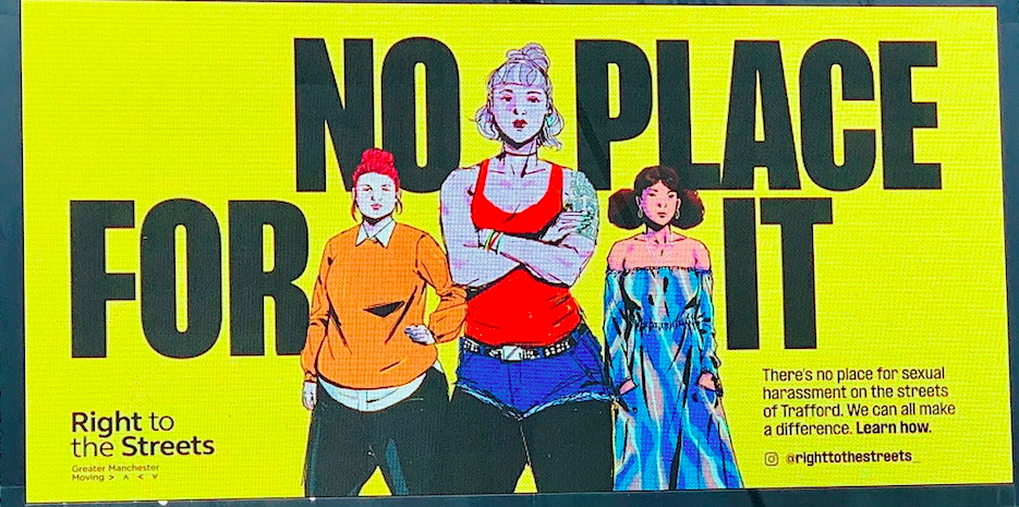
Since October last year, we’ve been working to understand more about how women and girls in Trafford experience where they live. With Trafford Council and GreaterSport, Right to the Streets
11
Aug
Aug
Joy Diversion is family-friendly day of exploring, mapping and meandering being run by ODM as part of Right to the Streets.
11
Jul
Jul
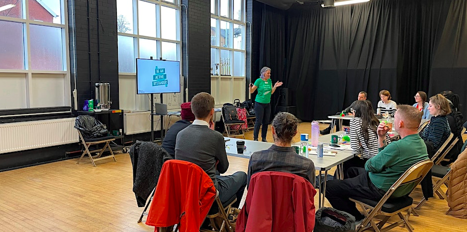
Part of a series of online sharing sessions about the Right to the Streets project, focused on bystander intervention campaigns.
11
Jul
Jul
Part of a series of online sharing sessions about the Right to the Streets project, focused on violence against women and girls.

11
Jul
Jul
Part of a series of online sharing sessions about the Right to the Streets project, focused on empowering women and girls.
- 1
- 2