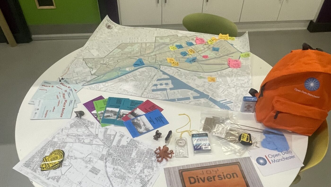
This four-part blog series explores Open Data Manchester’s approach to community-led data collection, showcasing our methodology and impact across various projects. Part 3: Participatory Mapping – From Joy Diversion to
17
Mar
Mar
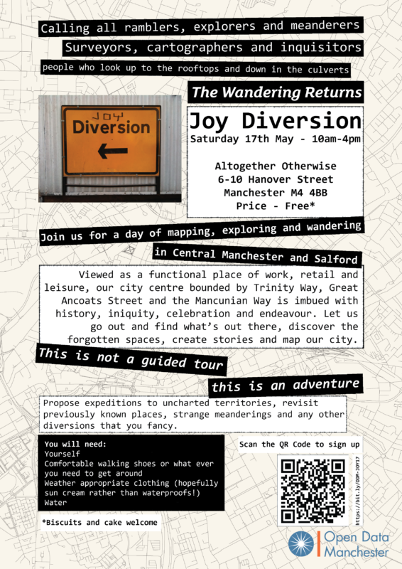
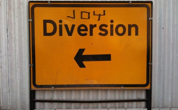
This May marks the seventh anniversary of Joy Diversion, a celebration of joyful meandering through places known and unknown, regarding them as spaces or adventures yet to be defined. Joy
21
Aug
Aug
Joy Diversion is family-friendly day of exploring, mapping and meandering being run by ODM as part of Right to the Streets.
21
Aug
Aug
Joy Diversion is family-friendly day of exploring, mapping and meandering being run by ODM as part of Right to the Streets.
11
Aug
Aug
Joy Diversion is family-friendly day of exploring, mapping and meandering being run by ODM as part of Right to the Streets.
22
Nov
Nov
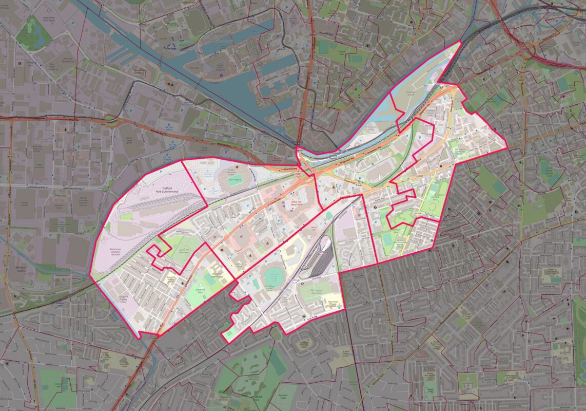
As part of the Right to the Streets project (previously known as Safer Streets Trafford), Open Data Manchester will be running workshops and organised walks to map the Gorse Hill,
11
Sep
Sep
The municipal environment often includes barriers that exclude people with restricted mobility. These barriers may be the result of natural topography, historic planning, deterioration of the urban environment or planned
07
May
May
On Saturday 27th April, Joy Diversion returned for the first time this year. Despite having been visited Storm Hannah the night before, our intrepid explorers weren’t put off and we
18
Dec
Dec
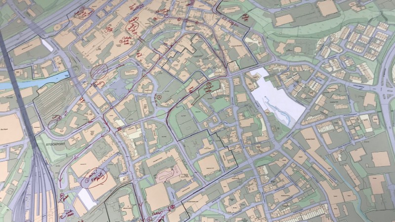
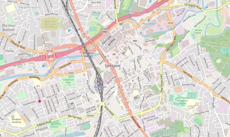
We’re happy to announce that we’ve partnered with Stockport Council on a project called ‘Mapping Mobility Stockport’, funded through the ODI Geospatial Fund. Working with Age UK and Disability Stockport,