A round table in a classroom or office kitchen setting, covered with various items related to a mapping or urban planning project. The table contains: A large map with colored sticky notes attached Smaller printed maps and documents Colorful cards or badges An orange backpack with 'Open Data Manchester' logo Various small objects like figurines and measuring tools A prominent 'Diversion' sign image In the background, there's a kitchenette with white cabinets and a sink. On the left wall, there's a green board with 'ART' written on it, showing different categories. The scene suggests an interactive, collaborative project involving city planning or community mapping.

Data For Communities: Empowering Citizens Through Participatory Approaches (Part 3)

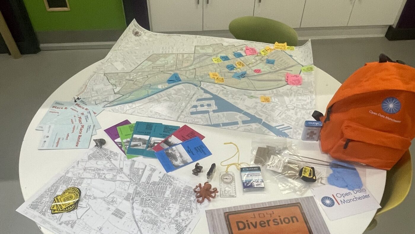
This four-part blog series explores Open Data Manchester’s approach to community-led data collection, showcasing our methodology and impact across various projects. Part 3: Participatory Mapping – From Joy Diversion to

Printed map of Stockport with routes scribbled on it

ODM Impact Series 8: Co-creating Solutions for Inclusive Urban Mobility

Welcome to the final instalment of our blog series showcasing Open Data Manchester’s decade of data-driven change. In this series, we’ve explored eight case studies that demonstrate the real-world impact

A white person's hand using a Sharpie pen to mark a map

The Lexicon of Experience – representing marginalised voices for more inclusive design

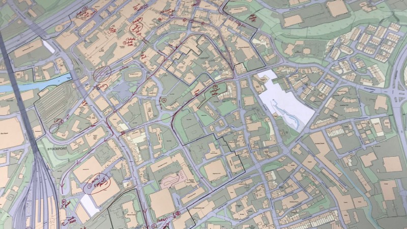
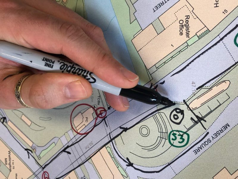
The voices of marginalised people are seldom represented within technical applications. Mapping systems for planning the built environment aren’t always inclusive of their lived experiences. Bias is baked into how