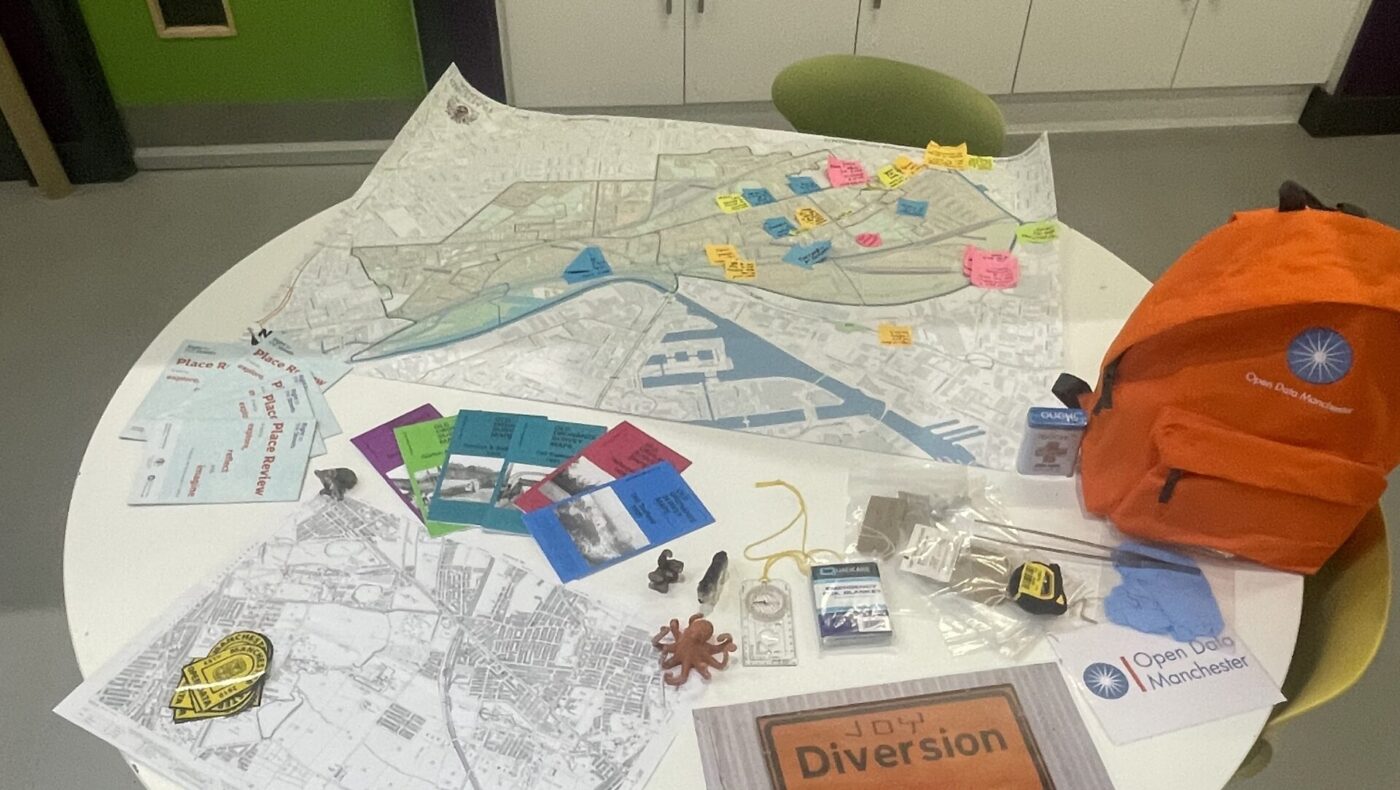
This four-part blog series explores Open Data Manchester’s approach to community-led data collection, showcasing our methodology and impact across various projects. Part 3: Participatory Mapping – From Joy Diversion to
04
Apr
Apr
This four-part blog series explores Open Data Manchester’s approach to community-led data collection, showcasing our methodology and impact across various projects. Part 2: Data For Communities – Our Original Workshop
28
Mar
Mar
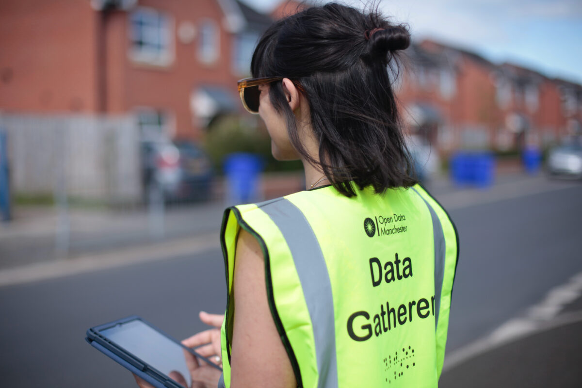
This four-part blog series explores Open Data Manchester’s approach to community-led data collection, showcasing our methodology and impact across various projects. Part 1: Why Community-Led Data Collection? Introduction At Open