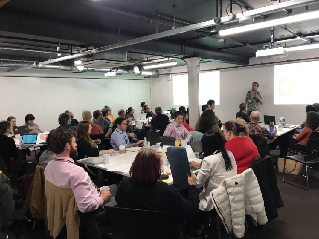
This week saw the ‘Our Streets Chorlton’ project (the new, more friendly name for the Chorlton Climate Action Project), start its open data journey with its first community data event.

01
Oct
Oct
Over the past few months we’ve been developing a data cooperative model for small energy cooperatives in partnership with Manchester based Carbon Coop and supported through the ODI’s Data Infrastructure
28
Oct
Oct
On 8th October, Open Data Manchester held an event at Federation House designed to give people the opportunity to explore the Indices of Deprivation, updated for 2019. The Indices of
01
Oct
Oct
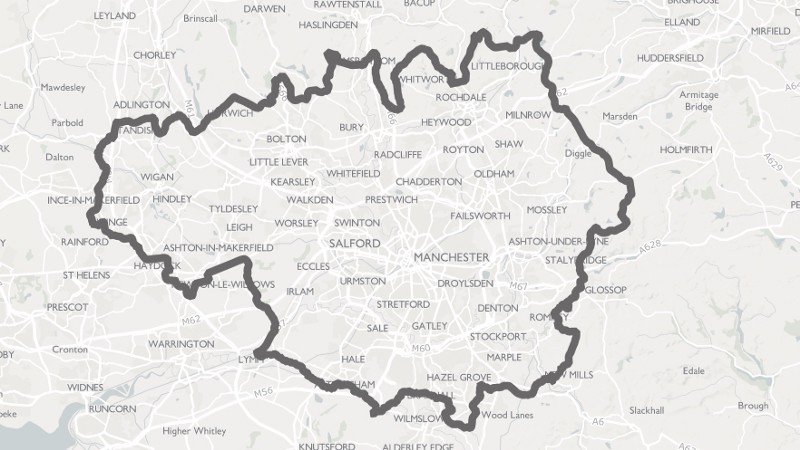
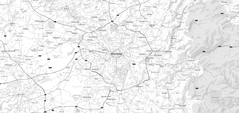
OpenStreetMap is a free, editable map of the world. Often described as the ‘cartographical Wikipedia’, it’s incredibly detailed and entirely crowdsourced. You can access it right now, and use it
13
Sep
Sep
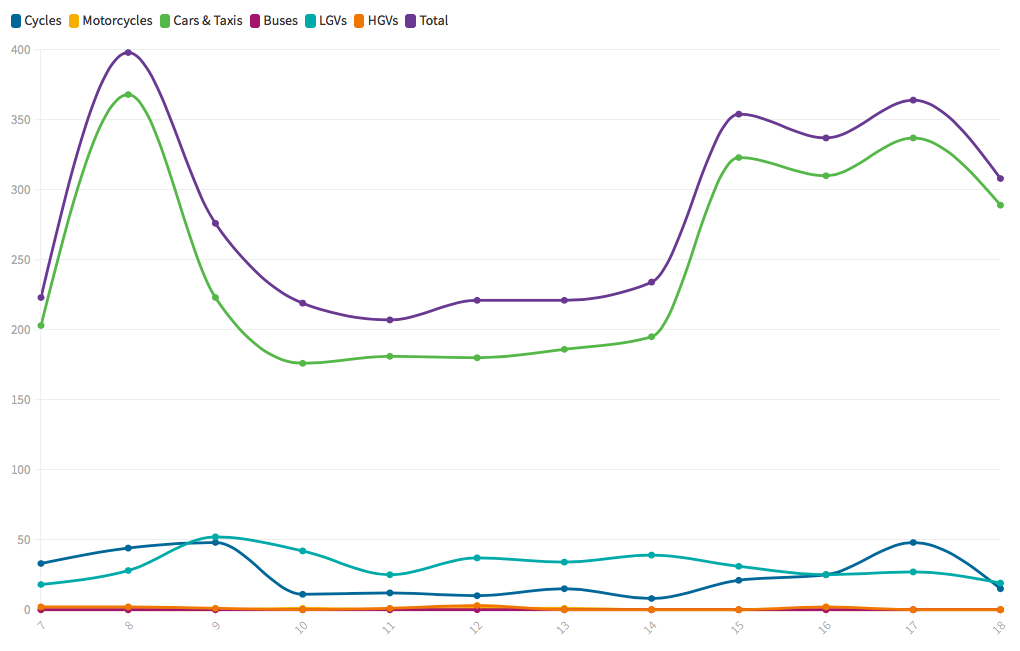
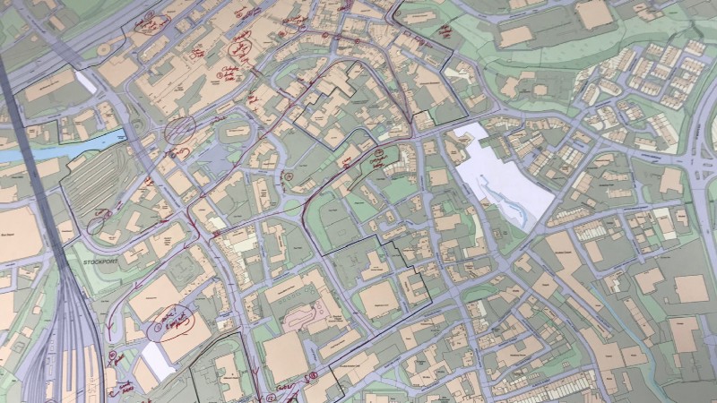
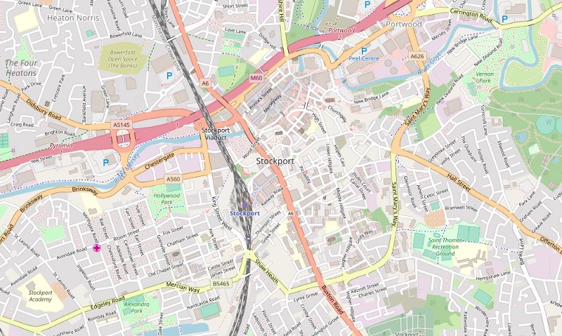
In Part 1, we looked at the Mapping Mobility Stockport project, which aimed to map the routes and strategies used by people with mobility impairments when travelling around Stockport town
11
Sep
Sep
The municipal environment often includes barriers that exclude people with restricted mobility. These barriers may be the result of natural topography, historic planning, deterioration of the urban environment or planned

06
Aug
Aug
When Open Data Manchester were asked if we would like to run a tent at this year’s Blue Dot Festival, held at the Jodrell Bank Observatory, how could we resist?
03
Jun
Jun
By Julian Tait, CEO Open Data Manchester CIC Over the last six months, we’ve been developing a series of workshops that introduce people to the open data that is about
10
May
May
In a world awash with data, the ability to make the right decisions regarding the use of data becomes increasingly more complex and difficult. Our capacity to create, collect and
18
Dec
Dec
We’re happy to announce that we’ve partnered with Stockport Council on a project called ‘Mapping Mobility Stockport’, funded through the ODI Geospatial Fund. Working with Age UK and Disability Stockport,