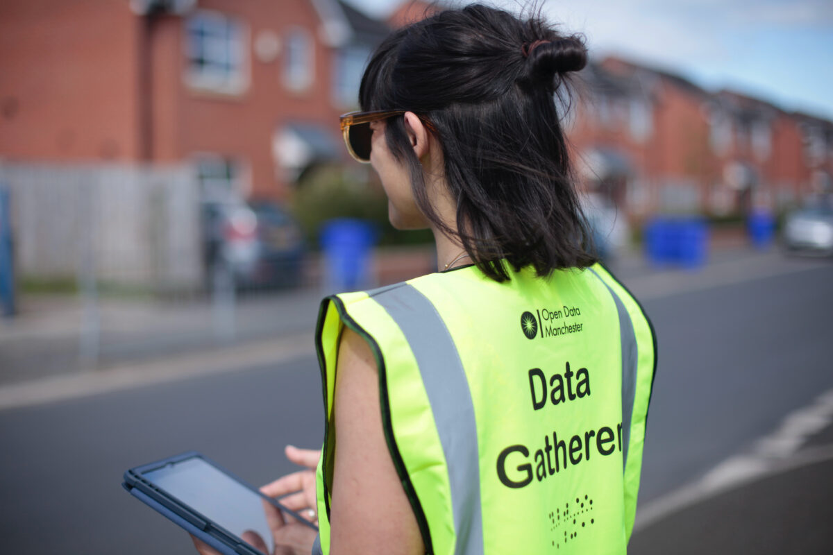
Open Data Manchester are working with Manchester City Council on a programme of work that will help understand how digital exclusion is impacting local communities, how to support the people
Open Data Manchester is developing a Community Data Handbook – an open resource that will enable communities to carry out their own data projects. Throughout 2021, as part of Our Streets
After over a year of development we are delighted to launch the Open 3P data standard for the plastic packaging industry. Created in collaboration with our project partners Dsposal, OPRL,
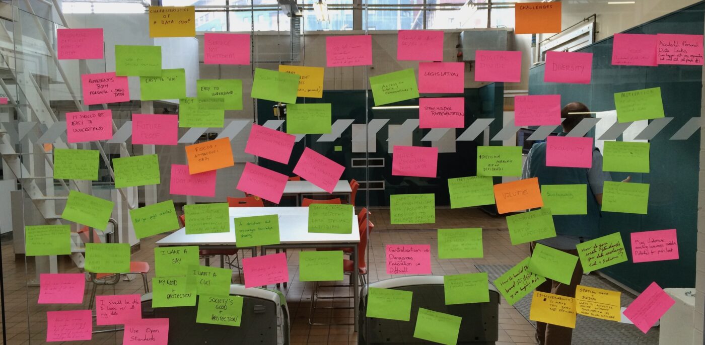
Over the past few years we have been interested in how cooperative organisations can help groups of people and organisations better manage their data so that it can return value
Open Data Manchester are supporting an exciting initiative, the Digital Solutions Programme, led by Professor Richard Kingston at the University of Manchester. This post will overview our process, what we have
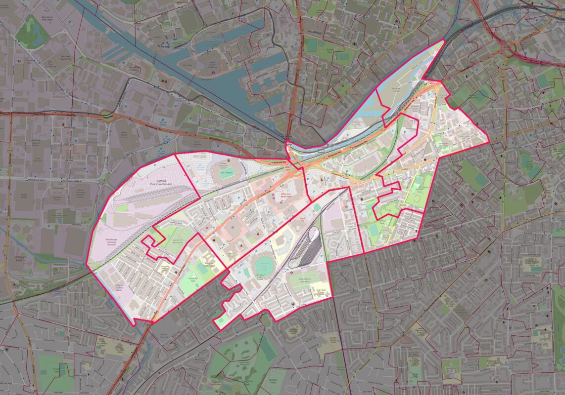
GreaterSport’s Safer Streets project will be delivered in partnership with Trafford Council, Open Data Manchester and a number of local stakeholder groups, running from September 2022 to September 2023. The
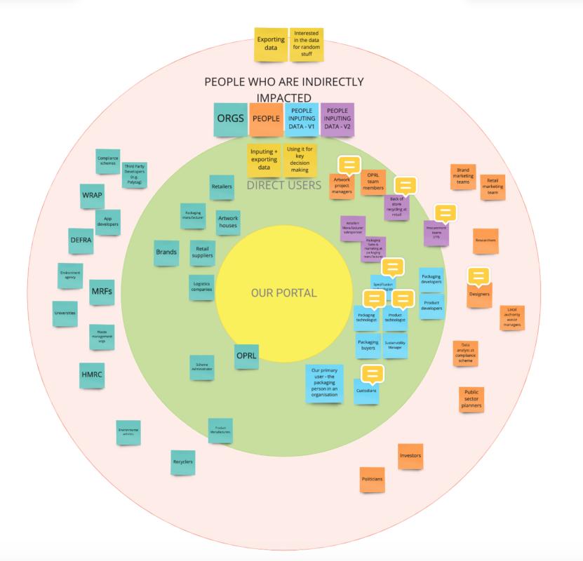
In December, we summarised what we found out in our first round of workshops researching how plastic packaging gets made. This work will enable us to design a Plastics Packaging Portal (PPP)
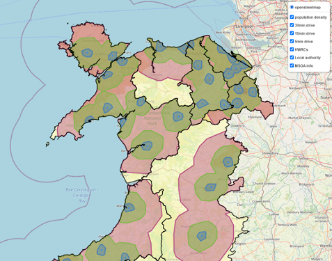
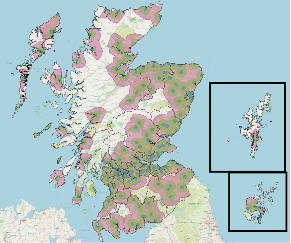
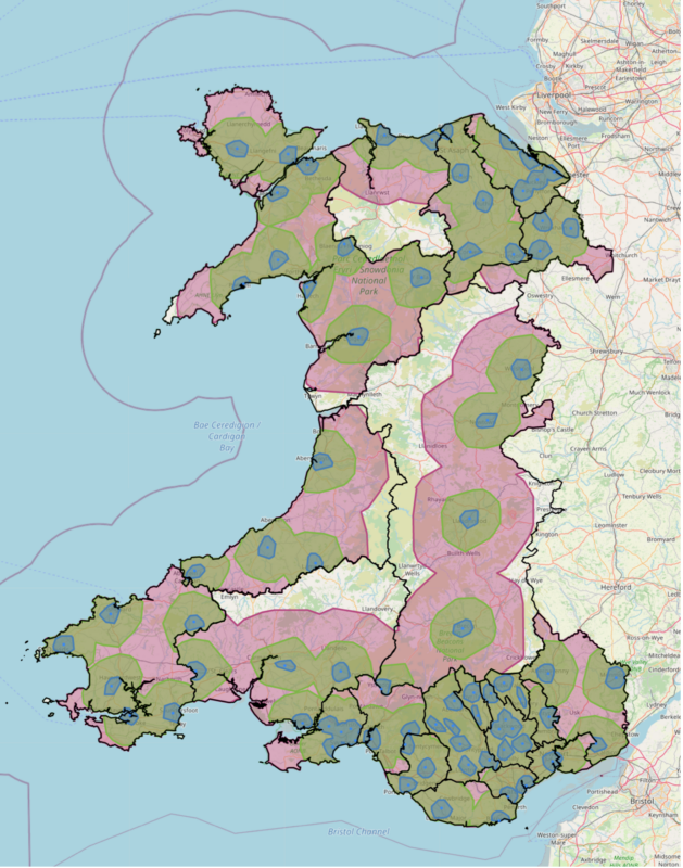
In July 2020, we were delighted to be part of a team awarded ODI Stimulus Fund money to develop an open data standard for public information about UK recycling. This has since
In July 2020, we were delighted to be part of a team that was awarded ODI Stimulus Fund money to develop an open data standard for public information about recycling in
In July 2020, we were delighted to be part of a team that was awarded ODI Stimulus Fund money to develop an open data standard for public information about local recycling


